Weather Outlook: Warmer-Than-Normal Start to Fall
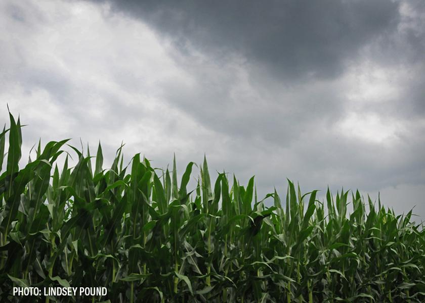
The forecast for September is shaping up to be warmer than normal, according to Bret Walts of BAM Weather.
“After the 15th or 18th of the month, there is a transition [the last three to five days of August] and we will start to see a warmer-than-normal start to fall for most of the Corn Belt,” Walts says. “The Midwest and upper Midwest may get some rain in late August or early September as the transition occurs, then it will be dryer toward the middle of September.”
Walts recently joined Chip Flory on AgriTalk. “It feels like we’ve got the crop in a slow cooker and are building yield as we make our way through August,” Flory describes. “I don’t want to speed it up and finish in a hurry.”
Walts predicts the transition to a colder pattern will be later in September and into October.
Red flag areas with a potential for a rough finish for crops.
There is continued risk for dry conditions after the first week of September, Walts says, especially for the Northern Plains region.
“How dry depends on any tropical activity. If we start getting East Coast storms, it could be dryer,” he explains.
What happens to the heat down south?
Flory says the outlook does not look good for cotton crops or spring wheat: “I don’t hear anything in the forecast that will add to any yield; however, the quality might still be good.”
For the sake of Texas, it would be best if the tropical activity didn’t materialize.
“They don’t want tropical activity up the east coast. If there is, it will pull moisture away,” Walts says.
First frost of the fall.
Walts predicts a frost threat could be a week or two early for a lot of the Corn Belt. It’s common in strong El Nino years for the snap to happen in early October.
Listen to the conversation: